
Land Survey Solutions in Northern California
-

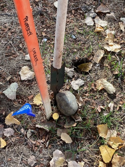
Corner Search-Escrow Survey
Basic recovery of existing property corners and monuments. Commonly used by Realtors when requested during sale. Short timeline, low cost answer to: “I just want to know where my property is.”
-

Boundary Survey
Property line staking for identifying encroachments, building fences, showing construction setbacks or County required documentation and inspection. Replacement of missing monuments from an existing map also falls under this.
-

Topographic Site Plan
Mapping existing conditions on the property for engineering, planning or architectural professionals. Many County permits require this before construction. Also known as a “Topo Map” or “Grading Plan” depending on elements that are most important to the end product.
-
Parcel Maps/Lot Line Adjustments
Working with local Planners and Engineering firms to provide Tentative Map and Final documents for these and other types of surveys that adjust or accommodate some of the limitations on developing your property.

Contact
Contact
Contact me for a bid or to discuss your project.